Google Maps Clone
Google Maps clone · Maps & navigation app · from our videos on X
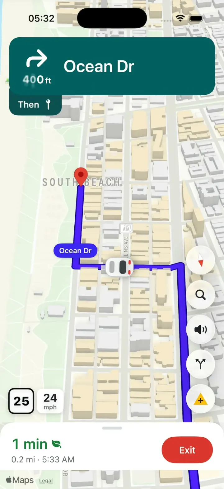
Google Maps Clone is a Google Maps-style maps and navigation app built in SwiftUI as Wayfinch, an original brand, in Google Maps' look. Explore opens on a map of Miami Beach with a search bar, category chips, coloured place markers and a sheet of the latest places; a chip drops red pins and a results list with photos. A place sheet has ratings, action chips, a photo strip, a Popular times chart with a live bar, and reviews. Directions shows two routes with time bubbles, and Start flies into heading-up 3D turn-by-turn navigation with a dark teal turn banner and its Then tab, a violet route, a white car, a speed sign and the ETA panel with a red Exit, ending in a You've arrived card. Driving is simulated along a real South Beach route, so it runs anywhere with no location permission.
- iPhone · Swift
- Built in 1 prompt
- Free to remix
Remix copies the working app into your account for free, exactly as we built it. It runs in Vibecode's cloud iOS simulator, in your browser.
Watch the video on X@vibecodeapp · Nov 19, 2026The prompt that builds it
We built Google Maps Clone in one prompt. Paste it into a new app to build your own copy, or change it first.
Prompt · 3,219 words
Build Wayfinch, an original maps and navigation app for iPhone in SwiftUI, in the genre of Google Maps: an Explore map of Miami Beach with a search bar and category chips, place sheets with photos, ratings and Popular times, route options with time bubbles, and turn-by-turn navigation with a dark teal turn banner, a violet route, a white car puck, a speed sign and the ETA panel with a red Exit, ending in "You've arrived". Its own name, logo and words, all below. Simulated driving only: no real location or network routing. The user is Alex Rivera, staying near Drexel Ave & 16th St, Miami Beach. Today is Thursday, November 19, 2026.

ASSETS
curl -L once and unzip flat: https://vibecode-wayfinch-media.beacon.host/media.zip (wayfinch-icon.png: the app icon; diner, diner-inside, diner-food, cafecito, beach, deco-hotel, coffee, tacos, bay, seafood .jpg: place photos; me.jpg: Alex). Add them to the asset catalog. No image generation is needed.

BRAND
Name "Wayfinch". WayfinchMark, a Shape in a unit square: a teardrop pin = a circle (centre 0.5, 0.40, radius 0.27) joined by its two tangent lines to a sharp tip at (0.5, 0.90); filled in two halves split by the line from (0.0, 1.0) to (1.0, 0.0): upper-left #4E22FD, lower-right #0B8F7A; a white circle (centre 0.5, 0.40, radius 0.105) on top. The mark (22 pt) sits at the left of the search bar.

LOOK
iOS 26, light mode (force .light). Map land #F2F3F5, parks #C7F2C4. Text #202124; secondary #5F6368; hairlines #DADCE0; surfaces #FFFFFF; chips #FFFFFF with a soft shadow. Brand teal #015F61 (buttons, the turn banner); teal tint #E3F1F1 (outlined chips: teal text on it). Route violet #4E22FD with a #1A019A casing; route pills #3926F2 with white text. Result pins red #EA4335; stars #FBBC04; "Open" and the nav time green #188038; Exit red #DD362E. SF Pro everywhere; numbers .monospacedDigit(). Native TabView (iOS 26 draws the floating Liquid Glass tab bar), tint #015F61: Explore (mappin.and.ellipse), You (bookmark), Contribute (plus.circle). Opens on Explore; no splash, onboarding, sign-in or permission prompts. Status bar visible (dark) on every screen. Springs under 450 ms, light haptics, pressed states 0.97. Photos aspect-filled, decoded at launch.

FORMAT (Format/)
One formatter, Locale(identifier: "en_US"): distances under 0.1 mi in feet rounded to 50 ("750 ft"), else miles with one decimal ("1.1 mi"); durations "4 min"; clock "h:mm a" ("7:42 AM"): ETA = device time now + remaining time; ratings "4.6"; counts "(2,341)"; prices "$10–20". The simulator's region is not en_US: never use the device locale.

FIXTURES (Data/PlaceCatalog.swift: ONE [Place] list; Data/RouteCatalog.swift: the routes. A new place or route is one entry.)
Places (id · name · category · photos · rating (count) · price · lat, lon · hours · address):
p1 · "Neon Palm Diner" · Diner · diner, diner-inside, diner-food · 4.6 (2,341) · $10–20 · 25.776891, -80.131409 · Open · Closes 11 PM · 823 Ocean Dr. THE DESTINATION. Phone (305) 555-0142. Popular times for Thursday (6 AM-11 PM, 18 values 0-100): 20, 45, 70, 85, 80, 60, 45, 40, 35, 30, 35, 50, 65, 75, 70, 55, 35, 20; the 8 AM bar is LIVE (violet) with "Live: Busier than usual". Reviews: Maya R. ★★★★★ "Best pancakes on Ocean Drive. Get the strawberry shake."; Leo K. ★★★★☆ "Neon at night is unreal. Expect a wait after 10."; Priya S. ★★★★★ "Booth by the window, sunrise over the park."
p2 · "Cafecito Ventanita" · Cuban café · cafecito · 4.8 (1,108) · $1–10 · 25.780800, -80.133500 · Open 24 hours · 1045 Washington Ave
p3 · "Lummus Park Beach" · Beach · beach · 4.7 (38,412) · free · 25.779000, -80.129000 · Open · Closes 11 PM · Ocean Dr
p4 · "The Palmetto Hotel" · Hotel · deco-hotel · 4.4 (3,920) · $$$ · 25.782600, -80.130000 · Check-in 4 PM · 1300 Ocean Dr
p5 · "Morning Light Coffee" · Coffee shop · coffee · 4.7 (842) · $1–10 · 25.775200, -80.133800 · Open · Closes 6 PM · 612 Washington Ave
p6 · "Taco Tide" · Mexican · tacos · 4.5 (1,566) · $10–20 · 25.785600, -80.131200 · Open · Closes 2 AM · 1500 Collins Ave
p7 · "Bayfront Sunset Point" · Park · bay · 4.8 (12,077) · free · 25.779000, -80.144500 · Open 24 hours · West Ave
p8 · "Claw & Lime" · Seafood · seafood · 4.6 (5,210) · $50–100 · 25.770000, -80.134500 · Opens 11 AM · 211 Washington Ave
Categories (chips, in order, each an SF Symbol + label): "Restaurants" (fork.knife: p1, p2, p6, p8), "Coffee" (cup.and.saucer.fill: p2, p5), "Gas" (fuelpump.fill: none, shows "No results nearby"), "Groceries" (cart.fill: none), "Hotels" (bed.double.fill: p4), "Things to do" (camera.fill: p3, p7).
Start: "Your location" at 25.789511, -80.133084 (blue dot).
Route r1 (to p1; Fastest; 4 min, 1.1 mi; via Washington Ave), polyline (lat, lon), in order: (25.789511, -80.133084), (25.789114, -80.133071), (25.789145, -80.131883), (25.786669, -80.131813), (25.782952, -80.132382), (25.779484, -80.133149), (25.779525, -80.132911), (25.779168, -80.130909), (25.776891, -80.131409). Steps: "Head south on Drexel Ave", "Turn left onto 16th St", "Turn right onto Washington Ave", "Turn left onto 9th St", "Turn right onto Ocean Dr", "Neon Palm Diner will be on the right". Each step starts at polyline points 0, 1, 2, 5, 7, 8.
Route r2 (to p1; 5 min, 1.1 mi; via Pennsylvania Ave): (25.789511, -80.133084), (25.789114, -80.133071), (25.789088, -80.134258), (25.779452, -80.133957), (25.779469, -80.133247), (25.779525, -80.132911), (25.779168, -80.130909), (25.776891, -80.131409).
Other places: a route is a straight 3-point line from the start for the Directions screen only (time = distance at 25 mph, rounded up).

SCREENS
1. Explore: the full-screen map (initial camera centre 25.7810, -80.1330, distance 3,200 m, heading 0, pitch 0), the blue location dot (14 pt blue #1A73E8 with a 3 pt white ring and a soft 40 pt halo). Top: the search bar (white 52 pt capsule, shadow): the mark, "Search here" (17 pt #5F6368), mic.fill, me.jpg 32 pt. Under it the ChipRow (horizontally scrolling 34 pt white capsules: icon + label, 14 pt medium). Right side under the chips: a layers glass circle (square.2.layers.3d); above the sheet at the right: a location.fill circle (recentres) and a 56 pt teal rounded-square directions button (arrow.triangle.turn.up.right.diamond.fill, white). Above the sheet at the left: a weather chip "☀️ 78°". Place markers: 28 pt circles with a white glyph (Restaurants orange #F57C00, Coffee #8D6E63, Hotels #EC407A, Things to do #0B8F7A) + the name under it (12 pt semibold, white halo). Bottom sheet (peek 230 pt, grabber): "Latest in Miami Beach" (20 pt bold) and a horizontal row of 150x190 photo cards (name + rating over a bottom gradient) for p1, p3, p4, p2, p7. Tap a marker or card: the place sheet.
2. Category results: tapping a chip selects it (teal tint fill, teal text, an X to clear), shows its places as red teardrop pins (36 pt, darker red dot; the selected pin 1.3x) and the sheet becomes the list: header "Restaurants" + filter chips "Sort by ▾", "Open now", "Price ▾", "Top rated"; rows: name (17 pt semibold), "4.6 ★★★★★ (2,341)", "Diner · $10–20 · 0.9 mi", "Open · Closes 11 PM" (Open green), then a row of 3 photos (120x90, 10 pt corners). Tap a row or pin: the place sheet. Never a blank frame when the list swaps.
3. Search: tapping the search bar pushes a full-screen search: back arrow + focused field "Search here"; "Recent" rows (clock icon): "Lummus Park Beach", "Cafecito Ventanita"; typing filters places by name or category (case-insensitive): rows with a pin icon, name, address and distance. Tap: the place sheet.
4. Place sheet (detents 330 pt and large): name (24 pt semibold); "4.6 ★★★★★ (2,341)"; "Diner · $10–20 · 🚗 4 min"; "Open · Closes 11 PM"; top-right glass circles (bookmark, square.and.arrow.up, xmark). Action chips (horizontal): "Directions" (teal fill, white, arrow.triangle.turn.up.right.diamond.fill), "Start" (location.north.fill), "Call", "Save", "Share" (teal tint). A photo strip (the first photo 200x160, the others 120x160, 12 pt corners). Tabs "Overview, Menu, Reviews, Photos, Updates, About" (teal underline, sliding). Overview: rows (mappin + address, clock + hours ▾, phone, "Plus Code"), "Popular times" (a Swift Charts bar chart, 120 pt, #A7D3D4 bars, the LIVE bar violet, hour labels 6a 9a 12p 3p 6p 9p, a "Thursdays ▾" picker) with the live line, then "Reviews": 4.6 big + 5→1 bars + the 3 reviews (initial circles). "Start" goes straight to navigation on r1.
5. Directions: a top card with "Your location" (blue dot) → "Neon Palm Diner" (red pin), a swap button, and mode pills: car "4 min" (selected: teal fill, white), transit "14 min", walk "22 min", bike "8 min". The map fits both routes (0.4 s camera move): r1 violet with its casing, r2 #9AA6F2 with a #5F6AC4 casing under it; time bubbles at each route's middle: selected "4 min" (violet fill, white 14 pt bold), other "5 min" (white fill, #5F6368); tap the other route or its bubble to select it (colours swap). Bottom sheet: "4 min (1.1 mi)" (22 pt, time green), "Fastest route now due to traffic conditions"; buttons "Start" (teal fill, location.north.fill), "Steps", "Pin". Steps lists the route's steps with maneuver icons.
6. Navigation (Start): the camera flies 0.8 s into the follow camera: heading-up (heading = the route's bearing, eased over 0.5 s at turns), pitch 50°, distance 450 m, the puck fixed at 72% of the screen height. Everything below reads the active NavTheme.
 - Turn banner (top, under the status bar, 16 pt margins, 20 pt corners, theme banner colour): the maneuver arrow (white, 40 pt: arrow.turn.up.right, arrow.turn.up.left, arrow.up, mappin for the destination), the distance under it ("750 ft", 20 pt bold, the unit smaller), the street ("Ocean Dr", 30 pt semibold, white). Under its left edge a "Then" tab (darker banner colour #0B4F51, 16 pt corners at the bottom): "Then" + the next maneuver's icon. The distance counts down as the car moves (rolling digits); at a maneuver the banner's words swap in one frame (no fade).
 - A route pill at the next turn: the next street's name ("Ocean Dr") in a 13 pt semibold white-on-violet capsule with a small tail.
 - The puck: a white car seen from behind, 34x50 pt (a rounded body #FFFFFF with a 1 pt #C9CDD3 outline, a dark #3C4043 rear window, two red #E53935 tail lights, a soft shadow), pointing along the route.
 - The destination: a red teardrop pin (40 pt) with a white dot.
 - Left, above the panel: the speed sign (a 44 pt white rounded square with a 2.5 pt black border, "25" 22 pt heavy) beside a white rounded "24 / mph" box; the speed wanders 22-27 during a drive.
 - Right column (NavControls: ONE list of glass circles, 52 pt, 10 pt apart, its bottom 16 pt above the panel): compass (a red and white needle that rotates against the camera heading), magnifyingglass, speaker.wave.2.fill (toggles speaker.slash.fill), arrow.triangle.branch (alternates), a yellow triangle with "+" (Report: a sheet of report tiles "Crash", "Slowdown", "Construction", "Lane closure", "Stalled vehicle", "Object on road"). A new button is one entry.
 - Bottom panel (white, 24 pt top corners, grabber): "4 min" (26 pt semibold, theme time colour) + a green leaf.fill; "1.1 mi · 7:42 AM" (15 pt #5F6368); at the right the Exit capsule (#DD362E, white 17 pt semibold, 92x48). Swipe up: "Route overview", "Steps", "Search along route", "Share trip progress", "Add a stop" and a "Night mode" toggle (switches NavTheme default ↔ night). Exit: back to the place sheet.
 - The drive: the car moves along the polyline at 25 m/s (interpolated by distance, its rotation eased at corners); time and distance count down; at the end: arrival.
7. Arrival (ArrivalLayer): the car stops at the pin; a teal ring pulses once around the pin (0.6 s); the theme's arrival style plays. Default (.card): the bottom panel morphs (0.3 s) into the ArrivalCard: diner.jpg (64 pt, 12 pt corners), "You've arrived" (13 pt semibold teal), "Neon Palm Diner" (22 pt bold), "823 Ocean Dr · Diner · ★ 4.6"; buttons "Done" (teal fill) and "Rate this place" (teal tint); success haptic. Done: back to Explore with p1 selected.
8. You: large title "You"; me.jpg 56 pt + "Alex Rivera" + "Local Guide · Level 6"; "Your lists": Favorites (heart.fill red, "3 places"), Want to go (flag.fill green, "5 places"), Travel plans (suitcase.fill blue, "1 trip"), Starred places (star.fill yellow, "12 places"); "Timeline" card ("This week · 23.4 mi · 12 places"); "Saved in Miami Beach" photo cards (p1, p3, p4).
9. Contribute: title; "Local Guide · Level 6", "1,240 points" with a teal progress bar to Level 7 (1,500); tiles "Add place", "Update address", "Add photos", "Write a review"; "Rate places you've been": rows with photo, name and 5 tappable stars.

MAP (Map/)
- One MapKit SwiftUI Map inside a MapReader, kept alive under every tab (never recreated), .mapStyle(.standard(elevation: .realistic, emphasis: .muted, pointsOfInterest: .excludingAll)), color scheme from the theme. Routes are MapPolylines (the casing stroke, then the core stroke on top, round caps and joins, 10 pt core). Place markers, pins, pills and the puck are a SwiftUI overlay projected through MapProxy on every camera change (onMapCameraChange frequency .continuous); in follow mode the puck sits at its fixed screen point.
- The camera is a MapCameraPosition driven by one NavCameraController: .explore, .overview(routes), .follow(puck), .hook (fixed, below). Per-frame updates run on a display link with no implicit animation.

NAV THEMES (Theme/NavThemeCatalog.swift: ONE [NavTheme] list)
Every navigation visual reads the active NavTheme from the environment: mapScheme (.light / .dark), mapTint (a top-to-bottom gradient overlay over the map with an opacity; clear by default), routeCore, routeCasing, routeGlow (none by default), pill, puck (body colour, tail lights), bannerBackground, bannerText, thenTab, panelBackground, panelText, timeColor, hud (an optional overlay view shown top right under the banner; none by default), arrival (ArrivalStyle: .card; a new style is one case plus one view). Entries: "default" (the colours above) and "night" (mapScheme .dark, banner #0B3B3C, then tab #082C2D, panel #202124, panel text #E8EAED, time #81C995, route core #8C7BFF, casing #2A1E8F). Switching themes cross-fades over 0.3 s from a snapshot of the previous frame, so the swap never shows a blank or half-drawn map.

TOUCH
- TouchFeed (@Observable: location in screen points, isDown): published by a passive window-level touch observer (a UIGestureRecognizer subclass on the key window, cancelsTouchesInView = false, delaysTouchesBegan = false, never recognizes), so it never blocks taps, drags or scrolling.
- TouchDot (HOOK MODE's finger): 44 pt, black 35% fill, a 3 pt white ring, a soft shadow, drawn in a top overlay window above everything; scales in 0.6 → 1.0 (0.15 s); 0.85 while pressed; glides between points (easeInOut). Scripted presses and releases call the same handlers as real touches.

HOOK (the video's first 3 seconds)
- HOOK MODE: tapping an invisible 24x60 pt strip at the LEFT edge (x 0-24, y 400-460 pt), drawn in its own window above every sheet, banner, card and the tab bar (a tap there closes whatever is open), resets everything and plays DemoScript's steps, identical every time (seconds from the tap):
 0.00 with no animation: the Navigation screen on r1, theme "default", every sheet closed, and the FIXED hook camera: centre 25.7787, -80.1318, heading 190, pitch 45, distance 1,100 m (adjust the distance once so the 9th St start, the Ocean Dr corner and the pin are all on screen, clear of the banner and the panel); the car on 9th St at its corner with Washington Ave (25.779484, -80.133149) pointing east; banner "↱ 750 ft · Ocean Dr", "Then" + mappin, pill "Ocean Dr" at the corner; panel "1 min" + leaf, "0.3 mi · <ETA>"; speed 24.
 0.00-0.40 hold exactly that (map tiles already drawn; no motion).
 0.40-1.20 the car drives east along 9th St to the Ocean Dr corner (229 m); the banner distance rolls down to 0.
 1.20-1.40 the car turns right onto Ocean Dr (rotation eased over 0.20 s); at 1.20 the banner swaps in one frame to mappin · "840 ft" · "Neon Palm Diner" with "On the right" under it; the pill hides.
 1.40-2.30 the car drives south on Ocean Dr to the pin (257 m); the panel counts down to "0 min".
 2.30 arrival through ArrivalLayer with the theme's style (default: the ArrivalCard).
 3.10 the TouchDot appears over "Done" (0.15 s); 3.30 press; 3.40 release = tap Done.
- DemoScript holds the steps as (absolute time from the tap, action): dotShow(target), dotMove(target, duration), press, release, dotHide, and call(AppAction) for app actions (setTheme(id), drive(from: meters, to: meters, duration), arrive, selectCategory(id), openPlace(id)). Targets are named and resolved to screen points when the step runs: nav.control:<id>, arrival.done, nav.exit, chip:<id>, place:<id>. One HookPlayer runs them on the main actor against the tap time (absolute, no drift), never the app's normal delays or speeds.
- What the eye must see: frame 0 fully drawn (map tiles, route, car, banner, panel; no fade-in); the car glides with no jumps; banner words swap in one frame; the arrival card rises already filled; no flash longer than 0.12 s.

RULES
- Native SwiftUI, iOS 26 (keep the template's target), iPhone portrait; MapKit for the map, Swift Charts for Popular times.
- Deterministic fixtures. No backend, login, location permission, analytics or network calls at runtime. No persistence: delete the SwiftData starter, no UserDefaults or files.
- Preload and decode every image off the main thread at launch. Files under 300 lines, big bodies split into subviews, no long chained expressions; every animation smooth at 60 fps (the simulator streams video).
- Keep every file inside /home/user/workspace (/tmp is denied).

REMIX-READY
Theme/Theme.swift (colours, fonts, metrics; no colour literals elsewhere), Theme/Brand.swift (name, WayfinchMark, a Copy enum with every word), Theme/NavThemeCatalog.swift, Data/PlaceCatalog.swift, Data/RouteCatalog.swift, Data/Fixtures.swift (lists, reviews, user), Data/DemoScript.swift; Format/. Codable models with String ids: Place (name, category, photos, rating, reviewCount, price, coordinate, hours, address, phone, popularTimes, reviews), Category, Route (id, placeId, polyline, steps, minutes, miles, label), Step, NavTheme, ArrivalStyle; behind one PlacesDataSource protocol (FixturePlacesSource) feeding @Observable stores (ExploreStore: camera, category, selection; NavStore: route, drive progress, theme, arrival); views never read the catalogs. Components/: SearchBar, ChipRow, PlaceMarker, ResultPin, PlaceSheet, PopularTimesChart, RouteBubble, TurnBanner, ThenTab, RoutePill, CarPuck, SpeedSign, NavControls, NavPanel, ArrivalLayer, ArrivalCard, TouchDot, GlassCircleButton. Features/<Tab>/. README.md under 80 lines: the file map; how to rename, recolour, swap the logo, add a place, add a route (paste a polyline), add a nav theme, add a nav button and add an arrival style; 3 one-prompt remixes (a campus map with class buildings; a food-truck finder with live trucks on the map; a delivery tracker that drives the car to the user). "Read README.md first." atop CLAUDE.md and ios/AGENTS.md; replace ios/CLAUDE.md's structure block with this app's files. No scratch folders.

FILMING
Long-press the mark in the search bar for 1 s to reset everything to launch (Explore, nothing selected, theme default).

BUILD
Theme, Brand, Format and the catalogs, then the TabView shell and Explore with the map, search bar, chips and markers (launch and look first), then the place sheet, then Directions, then Navigation with the banner, car, panel, NavControls and the drive, then ArrivalLayer, TouchFeed, TouchDot and HOOK MODE, then category results, Search, You and Contribute; a one-line status per screen; launch in the simulator every two or three files. Fetch media.zip as soon as the shell runs; check the files exist, never view them. Walk each flow once and fix what breaks; no pixel measuring or debug modes. Deliver the whole app, not a plan. Do not publish.
More templates
All templates- View template
Next Stop
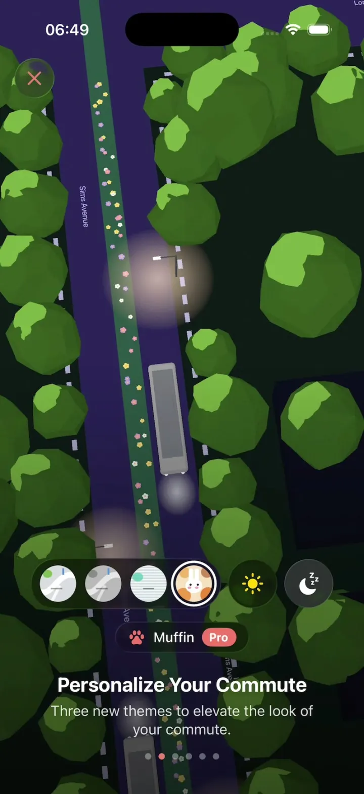
iOSA bus app onboarding over a live 3D night street: swap map themes, ring the bell, unfold a handwritten letter.
- View template
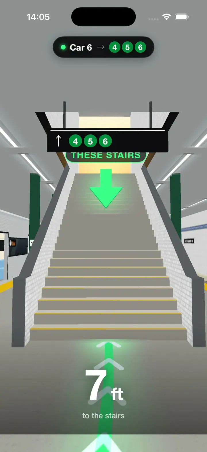
Which Stairs
iOS3D NYC subway directions: see which car to board and which stairs to take before you get there.
- View template
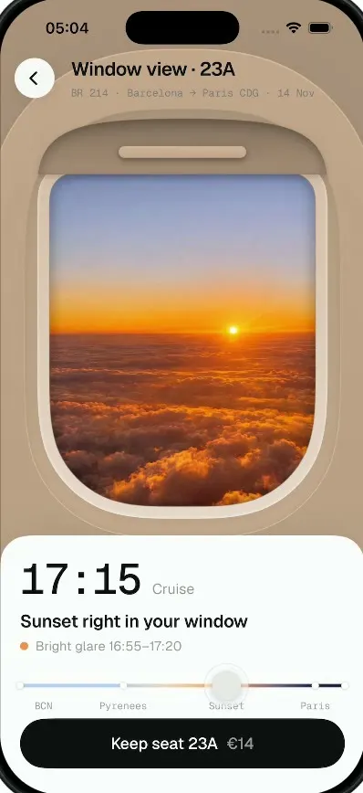
Window Seat
iOSTap a window seat and see your real view out of it, from takeoff to landing, before you pay for it.
- View template
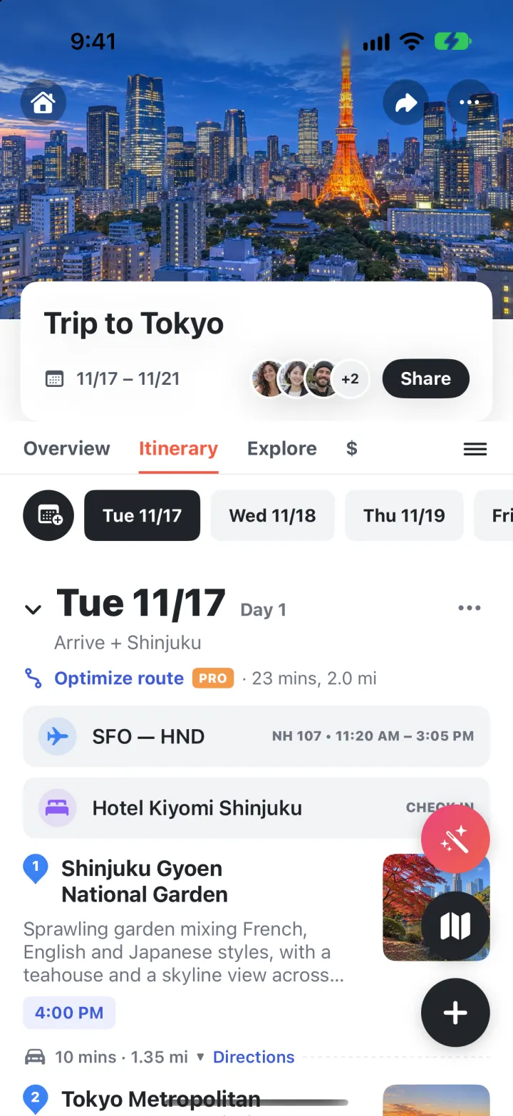
Wanderlog Clone
iOSPlan a whole trip on one screen: day-by-day stops on a map, bookings, split costs and an AI itinerary.