
Waze Clone
Waze clone · Navigation app · built by the Vibecode team
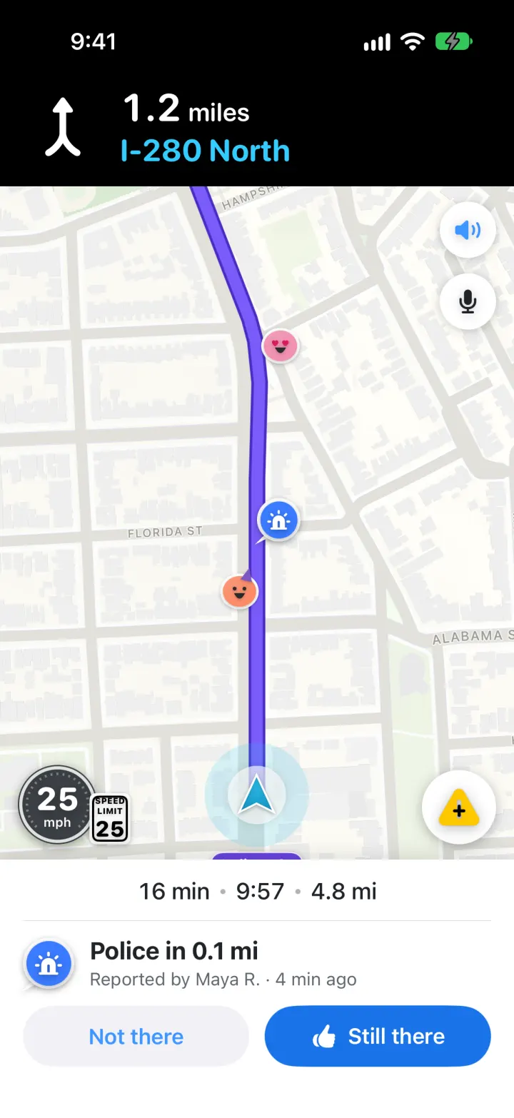
This template rebuilds Waze with its real name, cyan smiley, purple routes and cartoon Wazers. Search a place and real Apple Maps routes come back with ETA bubbles, hazards and traffic; pick one and Start drive. The car drives itself turn by turn under a black banner, with voice prompts, a speedometer and speed limit sign, and alerts like "Police in 0.2 mi" that you can confirm with Still there. Tap the yellow button to report a hazard, police or a crash and it lands on the map, then arrive to collect points that show in My Waze.
- iPhone · Swift
- Hand-built
- Free to remix
Remix copies the working app into your account for free, exactly as we built it. It runs in Vibecode's cloud iOS simulator, in your browser.
The prompt that builds it
We wrote Waze Clone by hand. This prompt describes the finished app: paste it into a new app to build your own version, or change it first.
Prompt · 1,025 words
Build a polished native iOS clone of Waze in SwiftUI with MapKit: the live map with other Wazers and road reports, "Where to?" search, a route preview with ETA bubbles and alternatives, turn-by-turn driving with voice, a speedometer and speed limit, hazard alerts you confirm, one-tap reports, arrival points, My Waze and Settings.

It is Waze on screen: its name, Waze blue #33CCFF, the purple route (#7A5CFA with a darker #4A2BC2 border) and its own words ("Where to?", "My Waze", "You are here", "Best", "Start drive", "Still there", "Not there", "Re-center", "Overview", "Thanks for reporting!", "You've arrived!"). Draw the Waze smiley (speech-bubble body, two eyes, smile, two wheels) and the lowercase "waze" wordmark in SwiftUI. US units (mi, ft, mph) with a km switch. The city is San Francisco; the car starts at 24th St & Noe St, Noe Valley. The user is Alex, a Wazer with 2,140 points.

SHELL
One full-screen MapKit map (flat, muted standard style, no POIs) with overlays per stage: home, route preview, drive, arrived. Opens on the home map: no splash, onboarding, login, paywall or location prompt. GPS is simulated by default (the car drives the route by itself at road speed, with a 1x-16x speed setting) and real GPS is an opt-in toggle in Settings.

SCREENS
1. Home map: the cyan car arrow with a halo and a white "You are here / 24th St & Noe St, Noe Valley" bubble with a blue car and chevron; cartoon Wazer moods (round faces: happy, cool shades, heart eyes, sleepy, party hat, grumpy) and report pins (round colour badges with a white rim and a speech-bubble tail: police blue with a beacon, crash red, hazard yellow with a black triangle, traffic red, camera indigo, blocked lane orange, weather light blue, closure dark red) around the city; red traffic-jam lines on real streets (Market St, US-101, Mission St, The Embarcadero). Dark round re-center button bottom left. Bottom card: grab handle, grey "Where to?" pill with a red mic circle, chips Home 7 min / Work 16 min / Gym / Mom's, a divider and a "My Waze" row with a blue speaker circle. Tapping a report pin opens a card: "Construction · Maya R. · 22 min ago", thumbs count and a blue Thanks button.
2. Search (full screen): field + Cancel; category chips Gas, Parking, EV charging, Coffee, Food, Grocery; Saved places; Recent with relative times. Typing matches a built-in list of SF places instantly and adds live MKLocalSearch results with distances.
3. Route preview: top bar "< Your location -> Ferry Building"; up to 3 real MKDirections routes (alternates lavender, chosen route purple), a deep-purple "20 min / Best" bubble and white "22 min" bubbles placed where routes don't overlap (tap one to switch), a blue start ring, a checkered-flag destination, hazards and jams on the route. Bottom card: "20 min" heavy, "7.9 mi", via the two longest roads ("I-280 N; Laidley St"), "Best route, despite heavy traffic" or "2 min slower than the best route", chips "3 hazards" / "Heavy traffic" / "Toll road", a round options button (opens Settings and re-routes) and the blue "Start drive" capsule.
4. Drive: black banner with a big white turn arrow, "0.4 miles" and the street in Waze blue; the map follows heading-up, the remaining route purple with a purple street capsule at the next turn and the current street under the arrow; Wazers along the route; speaker and mic circles top right; speedometer bottom left (dark disc, "24 mph", red when over) with a white SPEED LIMIT sign; yellow report button bottom right; bottom bar with search, arrival time "9:59" + speaker, "18 min · 7.2 mi", routes icon. Voice says "In a quarter mile, turn right onto Kansas St", "Turn right". 0.25 mi before a report the bar becomes "16 min · 9:57 · 4.8 mi" over "Police in 0.2 mi / Reported by Maya R. · 4 min ago" with "Not there" and blue "Still there" (+1 point). Dragging the map shows "Re-center · 16 min · 9.6 mi" and Overview. Tapping the ETA opens Share drive / Stop / Route overview.
5. Report sheet: "Report" with 8 round icons (Traffic, Police, Crash, Hazard, Camera, Blocked lane, Bad weather, Closure); pick one for its detail (Hazard: Object on road, Pothole, Construction, Stopped car, Animal), Send drops your pin on the map where you are and toasts "Thanks for reporting! +4 points".
6. Arrival: the map settles on the flag; card with the Waze smiley, "You've arrived!", the place, drive time, distance and "+23 Points", Done saves the drive.
7. My Waze sheet: Alex's mood avatar, "Wazer · 2,140 points" with a progress bar, Saved places, Recent drives (time ago · minutes · miles · +points), Your reports, Settings, Planned drives, Inbox.
8. Settings: map color Day / Night / Auto (night = dark map), show speed limit, voice directions, mode Driving / Walking / Wheelchair, avoid toll roads, avoid highways, units, police and speed camera alerts, use my real location, simulated drive speed, reset demo data.

LOOK
White sheets with 18 pt top corners and soft shadows, SF Pro Rounded heavy for ETAs, distances and the speedometer, SF Pro for text, SF Symbols for turn arrows and report glyphs. Only the banner is black. Routes are thick with a darker border; jams are red over the route.

RULES
Real routes from MKDirections (alternates on, tolls/highways preferences honoured, walking for walking/wheelchair), steps turned into street names, maneuvers and guessed speed limits. Deterministic "live" reports placed at fixed fractions of each route plus any city report within 35 m of it. The car accelerates to about the limit, slows for turns and jams, and arrives. Speech runs off the main thread. Saved places, reports and drives are SwiftData; demo rows are re-stamped relative to now at every launch so "4 min ago" and "yesterday" never go stale. All people are fictional.

REMIX-READY
Brand file (name, words, colours, fonts), Fixtures file (start, places, catalog, reports, Wazers, jams, drives), features in small files, README with a file map and remix ideas, and launch arguments -DemoTour YES, -DemoScreen <name> and -ResetDemo YES for recordings.
More templates
All templates- View template
Wanderlog Clone
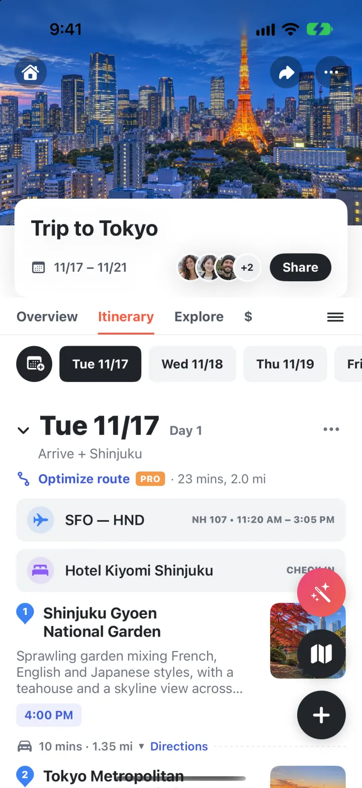
iOSPlan a whole trip on one screen: day-by-day stops on a map, bookings, split costs and an AI itinerary.
- View template
Airbnb Clone
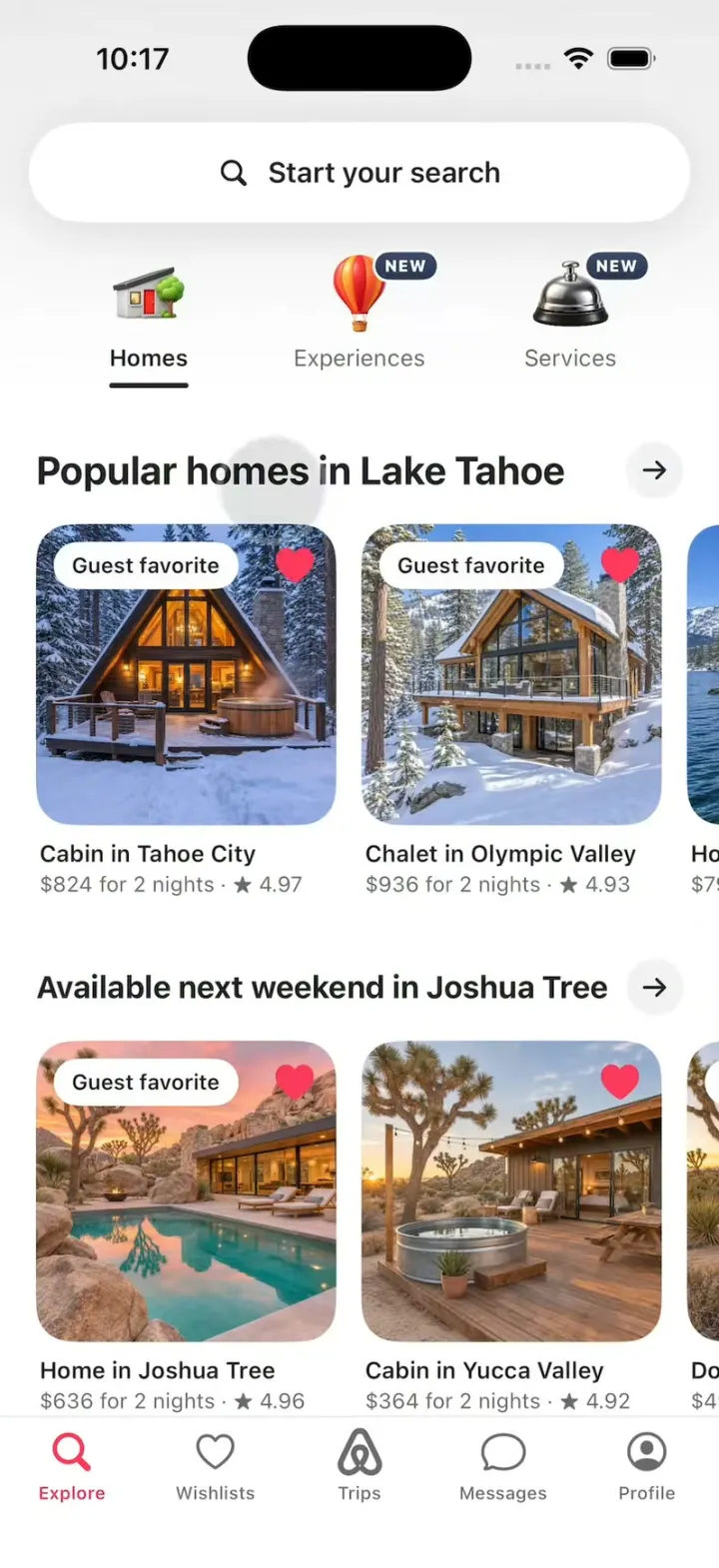
iOSAirbnb's 3D tabs, the Where/When/Who search, the price map, Guest favorite stays, Reserve and Compare.
- View template
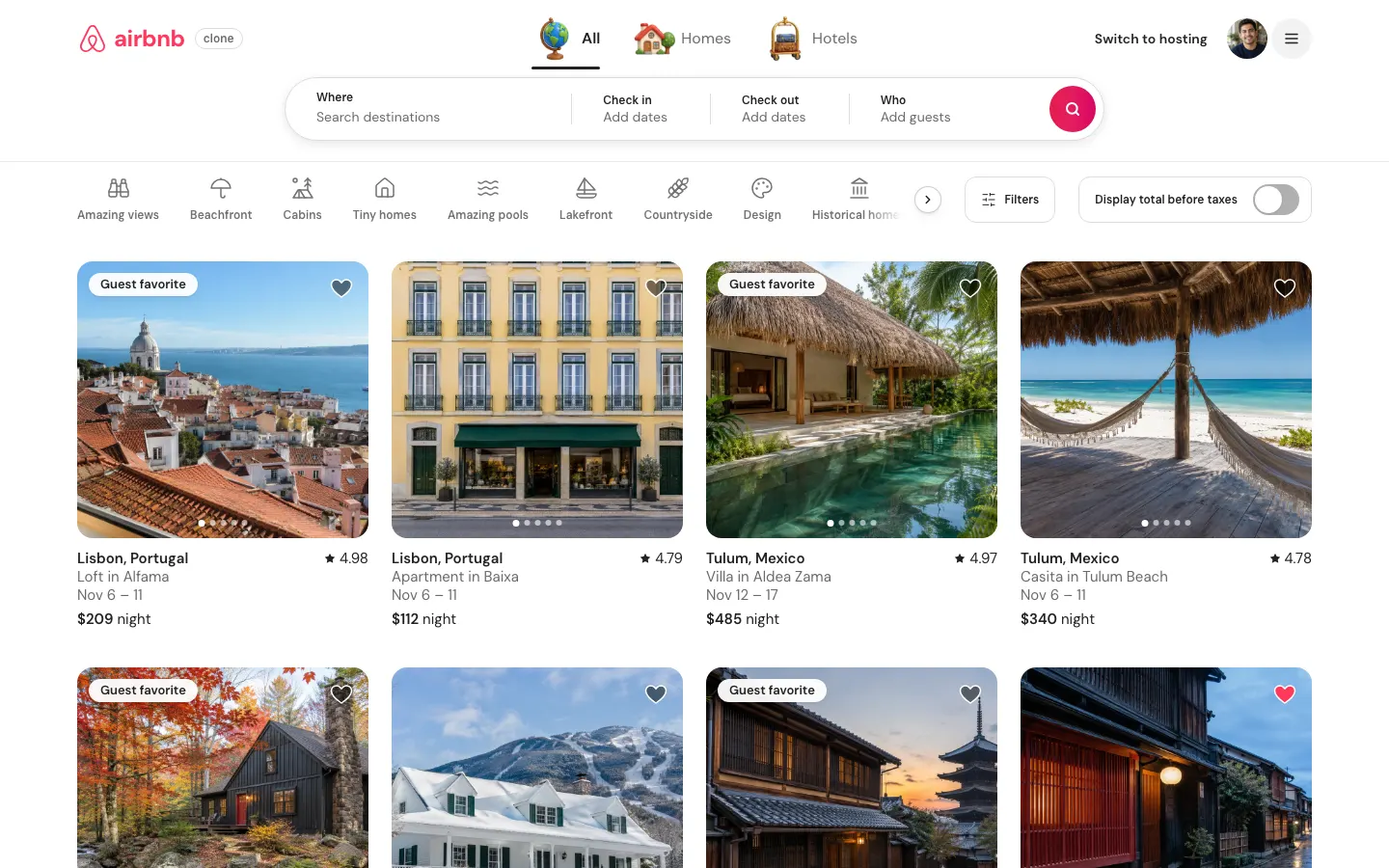
Airbnb Clone (Web)
WebSearch 80 stays on a live price map, save wishlists, book with a test card, then list your own place.
- View template
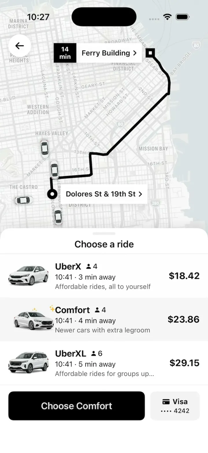
Uber Clone
iOSUber's real look: pick a ride at an upfront price, watch your driver drive up on the map, then rate and tip.